Monday, June 5, 2017

City of Rocks

I said "Au'voir" to Utah . . .


. . . . and "Bonjour" to Idaho.


     Before the transcontinental railroad was completed in 1869, folks traveled west in wagon convoys on the Oregon and California Trail (photo below is near this historic trail, near Cassia Creek).


    This historic trail bypasses City of Rocks.


     As the story goes, travelers going west were stunned by the unique geography of scattered boulders and rocks, and called it "City of Rocks" (click here for official website).


     I came here simply because it was the only way to get to Oakley, Idaho without taking the very boring Interstate Highway 84. And the "only" back road to Oakley involved over 30 miles of dirt roads . . . City of Rocks is on that dirt road.


     The reason I wanted to get to Oakley (population 800) is because it has a city-run RV park. But I wanted to get there before it rained; see the threatening clouds?


     A brochure explaining City of Rocks claimed this was a world-class rock climbing mecca. Look at photo above, see the climber? Now look at photo below and you'll see her. Someone is spotting her on top of the rock.


    This rock is called "Elephant Rock" (all the rocks have names given by climbers).  When I took the photo, I didn't realize two people were climbing it. Can you see the second climber's red helmet? That climber in above photo is directly above the spotter on the ground wearing a blue shirt, far right bottom.


Close-up of red helmet person in photo above. Whatever floats your boat I guess . . . .


     This rock in photo above is named "Diseased Cow Giving Birth" . . . . . . .  just kidding :)


     This rock in photo above is named "Monster Fungi" . . . . .  OK, I'll quit.


     Photo above, on the left, "Carcass of Giant Armadillo", and on the right, "Cat Got Stuck inside Accordion".


     Now this one (above) is easy . . . "Bread Loaf".  Honest, that the rock's name!


     I really didn't want to get caught on a dirt washboard road in a rain storm.  Rain and dirt roads require 4wheel drive and the ProMaster is not 4wheel drive. And I had another 25 miles of dirt road to go.


     Fortunately, I made it to Oakley's RV park just when it began sprinkling!

Sunday, June 4, 2017

From Wyoming's Unita County to Northern Utah

     Seems like I've been forever driving up and down, twisting around mountains and switchback roads. So when I got to a place I could pull over safely, it was at this beautiful spot (click here for map location of photo below). It's just over the Utah state line, in Wyoming. This is Uinta County, named after Utah's Uinta Mountains because these mountains are prominently visible everywhere in that little southwestern corner of Wyoming.


     I took a walk and came across this broken half-shell egg on a rock. I photo'd the shell to ID it later but when I saw this photo on my computer, I loved the artistry of the photo itself.


Utah's Uinta Mountains may loom large in this Wyoming county, but this little corner of Wyoming has its own identity.


Tremendously enjoyed the change of scenery.


An oil and gas company used to drill gas wells here.


Have no explanation for the bluish rock formation.


Evidence of former ranching operations.


Had this wide open space practically to myself. If my horse Topy was here with me . . . .


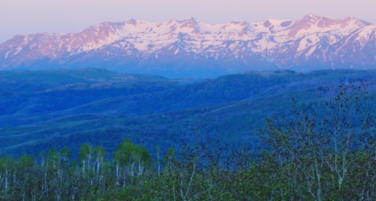
 A goat herd and the ever present Uinta Mountains of Utah.


Wyoming is cattle country.


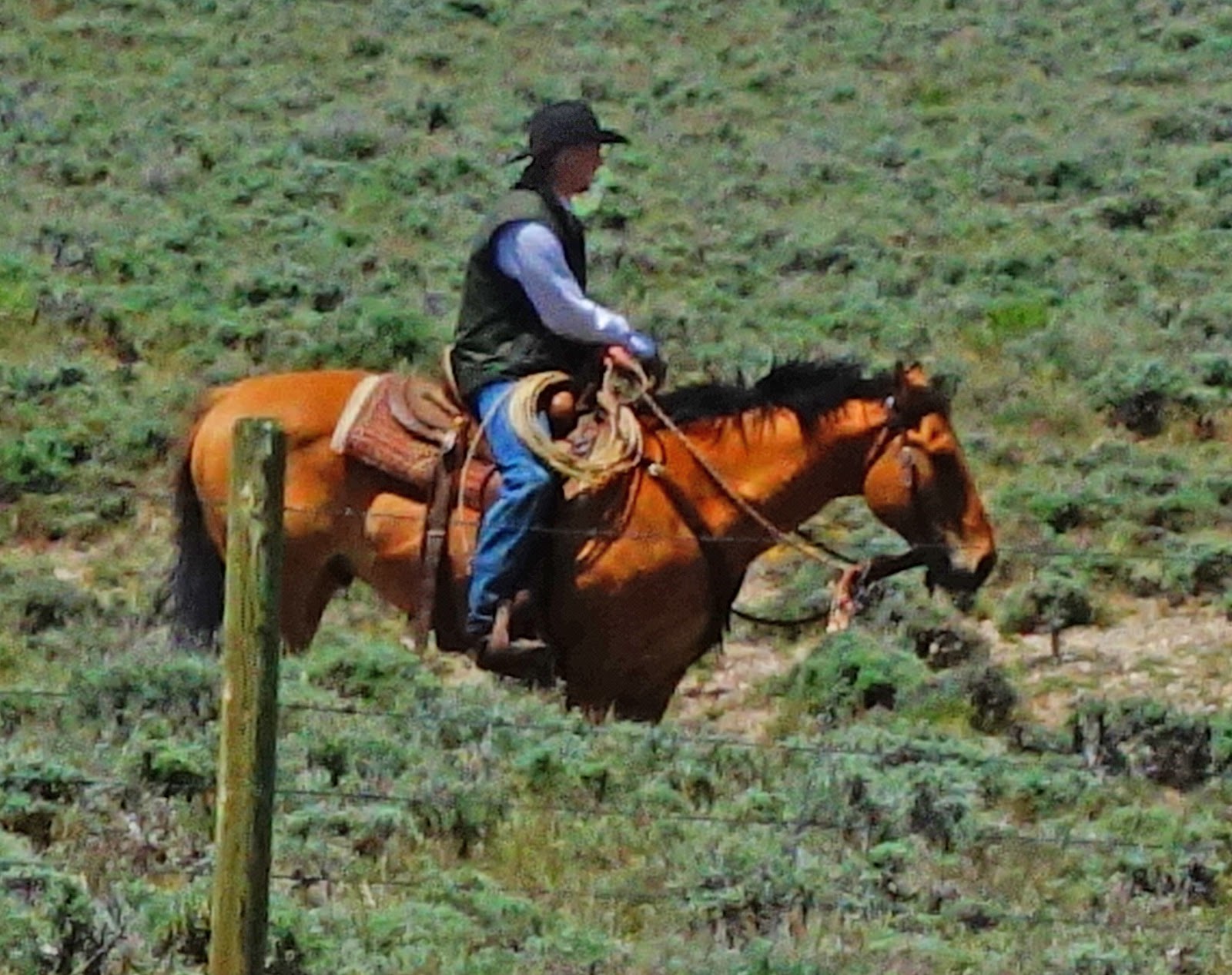
I parked along the road to watch four cowboys with my binoculars for an hour.


     It was a lot of "hurry up and wait" tactics with a herd of mama cows and their babies. Go slow, don't panic them or they'll do crazy things! Cowhands need to be animal psychologists to control cattle herds and those few rogue calves. Helping the cowhands were four dogs but their knowledge of animal psychology didn't include "reverse psychology" so they resorted to biting the calf's leg. Some male calves stood their ground and kicked back; score was calf "three", dog "zero".


     After watching and chuckling at that comedy show for an hour, I was on my way again to the northern panhandle area of Utah. The Uinta Mountains were always guiding me!


Utah's Route 39 is very scenic.


This green valley follows Birch Creek which was near flood stage due to snow melt.


     When I've climbed out of the valley, there's snow at the top! In fact, the Monte Cristo Campground where I was going to camp, was closed and snowed-in. The snowplows hadn't even opened their main road.


     Spent the night surrounded by snow at a BLM spot just off the road. Next morning at sunrise (La Lair was 45 degrees inside), fired up the stove for coffee and hit the road again.


Arrived in Huntsville, Idaho which is definitely more scenic than Huntsville, Texas!!


Click here for another person's description of this wonderfully scenic drive from Huntsville to Woodruff, Utah.


Saturday, June 3, 2017

Flaming Gorge-Uintas Scenic Byway

     Flaming Gorge Recreation Area is just a smidgeon north of the dinosaur quarry, so I headed in that direction. The drive on "Flaming Gorge-Uintas Scenic Byway" is beautiful of course!


The Flaming Gorge area is part of the eastern Uinta Mountains.


When the dam was finished in 1964, it created a 42,000 acre reservoir.


     The dam is on the Green River. And the reason it's named "Flaming Gorge" is because back in 1869 when John Wesley Powell and his crew of nine explored the Green River (and when they reached the confluence, the Colorado River also), they were stunned by the red rock canyon's reflection of the sun. 


The canyon looked like it was on fire. So the name "Flaming Gorge" was first penned.


     I spent the night on the eastern shoreline of the Flaming Gorge Reservoir at Antelope Flat Campground (see photo below).  I was the only camper there! One word of advice, don't camp here unless you want motor boat access (click here for map) because there are 22 other campgrounds to choose from which are probably better ones. Also there are 11 more campgrounds on the western shoreline which are probably more scenic.


I wasn't entirely alone; two pronghorns visited me.


Unfortunately there was a fire in 2015.


     The Route 44 section (on the western side of the reservoir, click here for map) of the Flaming Gorge-Uintas Scenic Byway was just as spectacular.


In fact, the further west I drove, the higher the Uintas Mountains rose.


Coming up next, snowy peaks of the Uintas Mountain Range.

Friday, June 2, 2017

The Road to the Dinosaur Quarry Exhibit Hall in Utah

     The vast almost one-quarter million acres that comprise the Dinosaur National Monument stretch across Colorado and Utah. It's primarily canyon and river country, but in Utah there is the special "dinosaur fossil quarry". I took the scenic road to this quarry; Brush Creek Road.


See the rocky mountain to the right? That's where the quarry is located.


Love this 15-foot or so bush!


The best thing about the quarry visit is the drive on Cub Creek Road.


A landscape artist could spend many contented years here.


Looks like a slab of polished marble on the left?!


Too majestic for words.


Don't know why some rocks are yellow and others are not.


Fortunately very little, almost no traffic.


The road bisects the Green River via a bridge.


The Green River Campground (below); should have stayed here!


Smooth rock forms and splashes of red!


 This road is only 10 miles long, but it's amazing.


     The dinosaur fossil quarry? It's an interesting place, and tells an interesting story about how the dinosaur bones all collected at this special place (click here for story). Many museums around the USA have dinosaur fossil displays that were unearthed from this quarry during the first few decades of the 20th Century.

     Up next, Flaming Gorge! will research that name . . .