But before we unloaded our bikes, we visited a private park, Parc de la Caverne Trou de la Fee, which is the site of an old power plant that was closed in the 1960s. It's situated on the Metabetchouane River which cuts a beautiful gorge through granite boulders and forests. The entrance fee is about $15 USD and it includes a crawl through a cave where bats supposedly hibernate in the winter, and hikes on several trails paralleling the gorge to see water falls and unique plants that thrive in this misty cool damp gorge. This is the entrance . . .

The walk to the cave is cool and misty; we're headed up river to that covered bridge over to the other side of the Metabetchouane River.

On the other side of the thunderous furious pummeling falls is a peaceful river.

Then we climb stairs . . .

I'm hoping my brother-in-law knows where the trail to the bat cave is . . . .

Are we on a trail?

We arrive to the cave known as "the hole".

The non-English speaking guide with a flashlight gives us hard-hats and we squirm and bend and contort our bodies to fit the narrow passage ways which constantly drip cold water. We were glad to reach the end of this cave; it meant we could turn-around and go back to the sunlight! Our next surprise was the "three waterfalls" area. It was a beautiful path through balsam fir trees, paper and yellow birch trees, one lonely wild orchid, berry bushes, and jack pine. That's me (blue vest on backpack).

Lots of boulders to walk over . . . the red arrow points to me on the trail.

More rocks to step over . . .

Half an hour later my sister and I were rewarded . . .

The second and third waterfall was actually a confluence of two rivers with two different elevations, very unique.

Then our loop trail took us back to the Metabetchouane River to the old power plant via a unique round bridge from left-over power plant materials.

This is what the round bridge looks like from the overlook platform when we approached the bat cave.

After walking through what's left of the old power plant, we find ourselves on a zigzag boardwalk around a rockwall.

And three swinging bridges . . . .

And another trail which takes us back to the stone arch where we began our walk three hours ago. My 5' 3" sister's legs are barely long enough to get over this boulder.

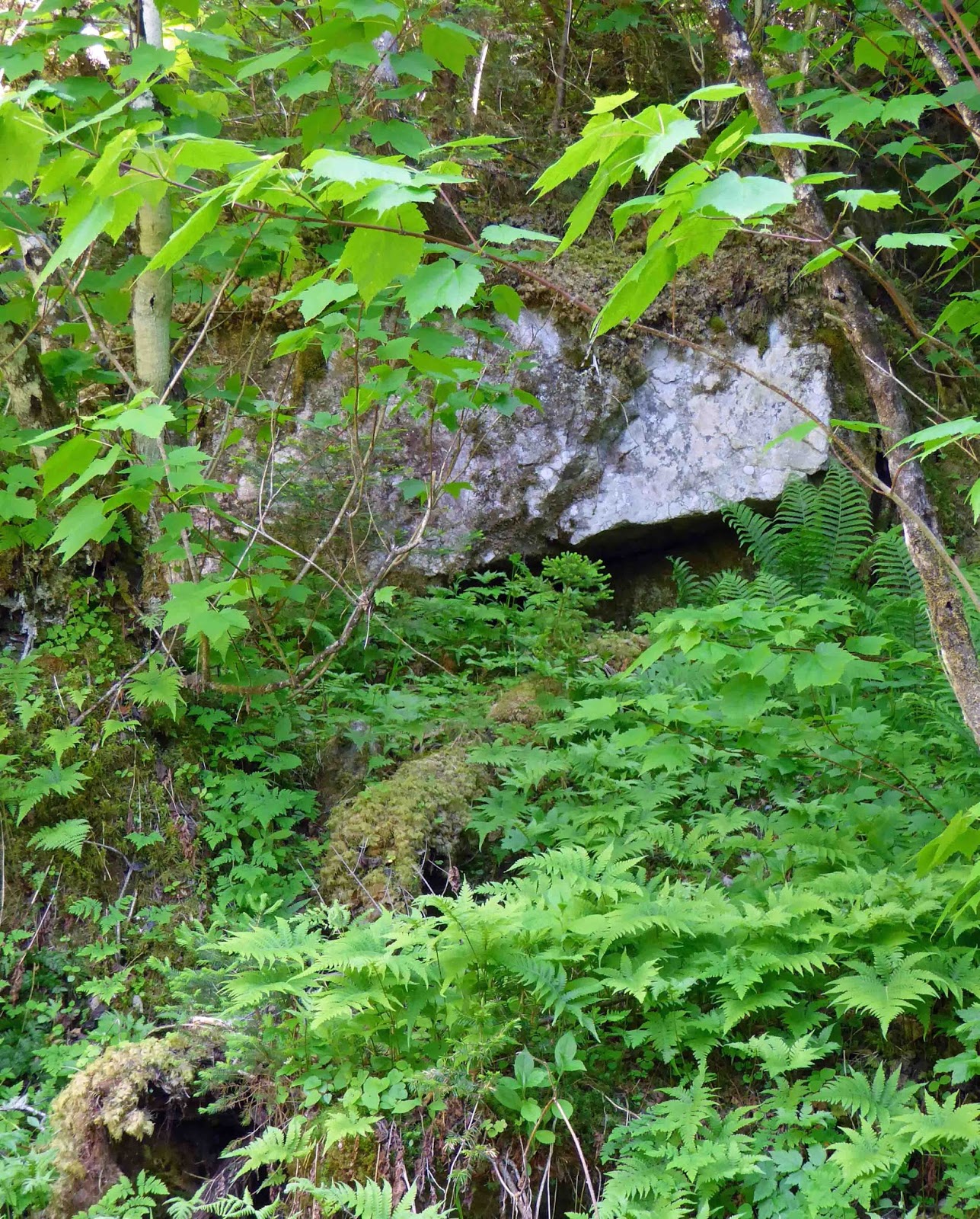
I saw a Black Bear scamper off the dirt road when I drove back to town. Maybe this little hole under the white boulder is her lair?
The many little streams that feed the Metabetchouane River create a moist environment where moss, lichen, and ferns cling to boulders.

Another rock-strewn trail . . . .

And more tree root-strewn paths . . . .

And after we round this last boulder, we're suddenly in a clearing near the stone arch entrance. I loved this adventurous trail. Yes, I've indulged in posting way too many photographs. S'il vous plaît, pardonnez-moi!

No comments:
Post a Comment